Summary:
| Map includes seismicity in the last 60 days within 55 Km of this event. | ||
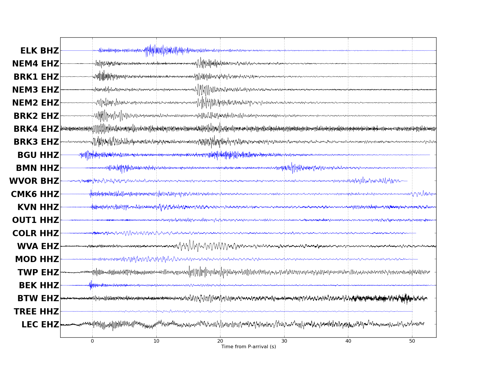
| ► Magnitude (ML) | 3.21 | |
| ► Region | 6.2 mi NNE of Wells | |
| ► Date time | 2016-12-16 at 20:41:52.506 UTC 2016-12-16 at 12:41:52.506 PST | |
| ► Location | 41.1964 ; -114.9249 | |
| ► Depth | 0.00 km | |
| ► RMS | 0.1253 | |
| ► Gap | 306 | |
| ► Stations | 7 | |
| ► Defining Phases | 13 | |
| ► Associated Phases | 28 | |
| ► Type | Local | |
| ► Status | Reviewed | |
| ► Page Updated | 2016-12-16 at 13:06:39.527 | |
| ► PDL Status | sent 2016-12-16 at 13:04:33.521 | |