Summary:
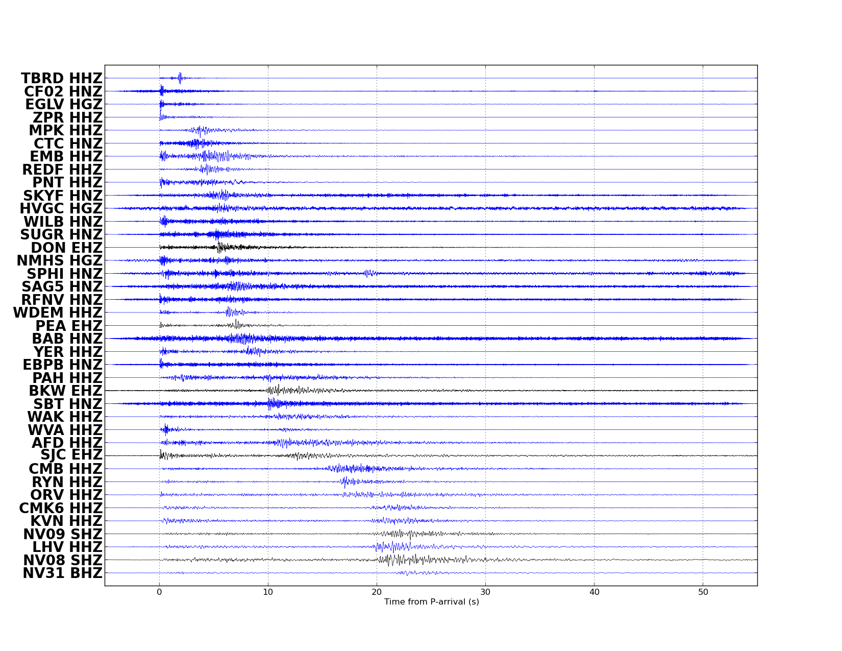
| Map includes seismicity in the last 60 days within 55 Km of this event. | ||
| ► Magnitude (ML) | 2.16 | |
| ► Region | 5.6 mi NNE of Glenbrook | |
| ► Date time | 2018-11-25 at 19:15:24.472 UTC 2018-11-25 at 11:15:24.472 PST | |
| ► Location | 39.1664 ; -119.9032 | |
| ► Depth | 10.86 km | |
| ► RMS | 0.1821 | |
| ► Gap | 043 | |
| ► Stations | 37 | |
| ► Defining Phases | 59 | |
| ► Associated Phases | 63 | |
| ► Type | Local | |
| ► Status | Reviewed | |
| ► Page Updated | 2018-11-25 at 11:42:17.796 | |