Summary:
| Map includes seismicity in the last 60 days within 55 Km of this event. | ||
| ► Magnitude (ML) | 3.98 | |
| ► Region | 18.2 mi SE of Mina | |
| ► Date time | 2020-05-15 at 11:12:37.268 UTC 2020-05-15 at 04:12:37.268 PDT | |
| ► Location | 38.2029 ; -117.8787 | |
| ► Depth | 6.68 km | |
| ► RMS | 0.2601 | |
| ► Gap | 121 | |
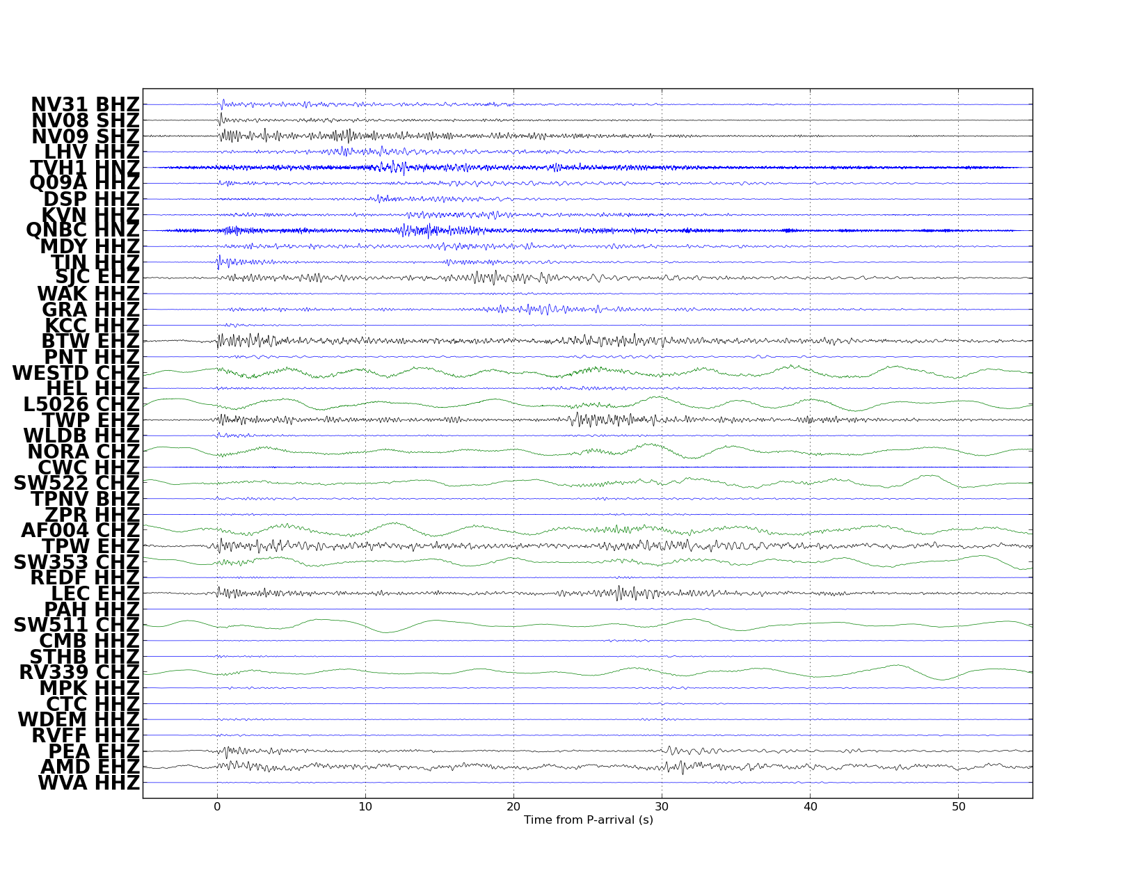
| ► Stations | 13 | |
| ► Defining Phases | 18 | |
| ► Associated Phases | 51 | |
| ► Type | Local | |
| ► Status | Reviewed | |
| ► Page Updated | 2020-05-15 at 09:48:05.446 | |