Summary:
| Map includes seismicity in the last 60 days within 55 Km of this event. | ||
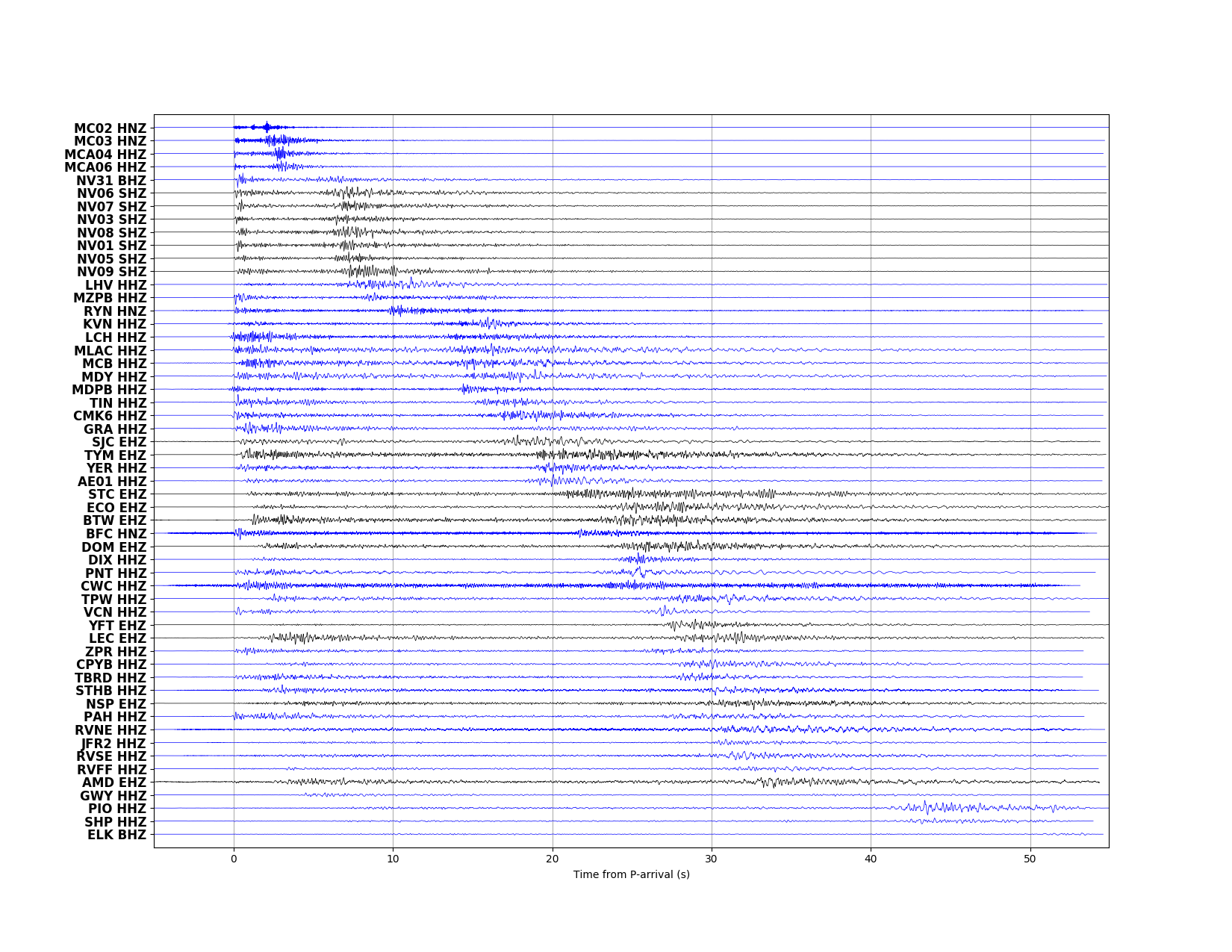
| ► Magnitude (ML) | 2.87 | |
| ► Region | 21.8 mi SE of Mina | |
| ► Date time | 2022-12-21 at 11:19:38.653 UTC 2022-12-21 at 03:19:38.653 PST | |
| ► Location | 38.1590 ; -117.8429 | |
| ► Depth | 9.65 km | |
| ► RMS | 0.1422 | |
| ► Gap | 141 | |
| ► Stations | 21 | |
| ► Defining Phases | 39 | |
| ► Associated Phases | 80 | |
| ► Type | Local | |
| ► Status | Reviewed | |
| ► Page Updated | 2022-12-21 at 08:53:46.257 | |