Summary:
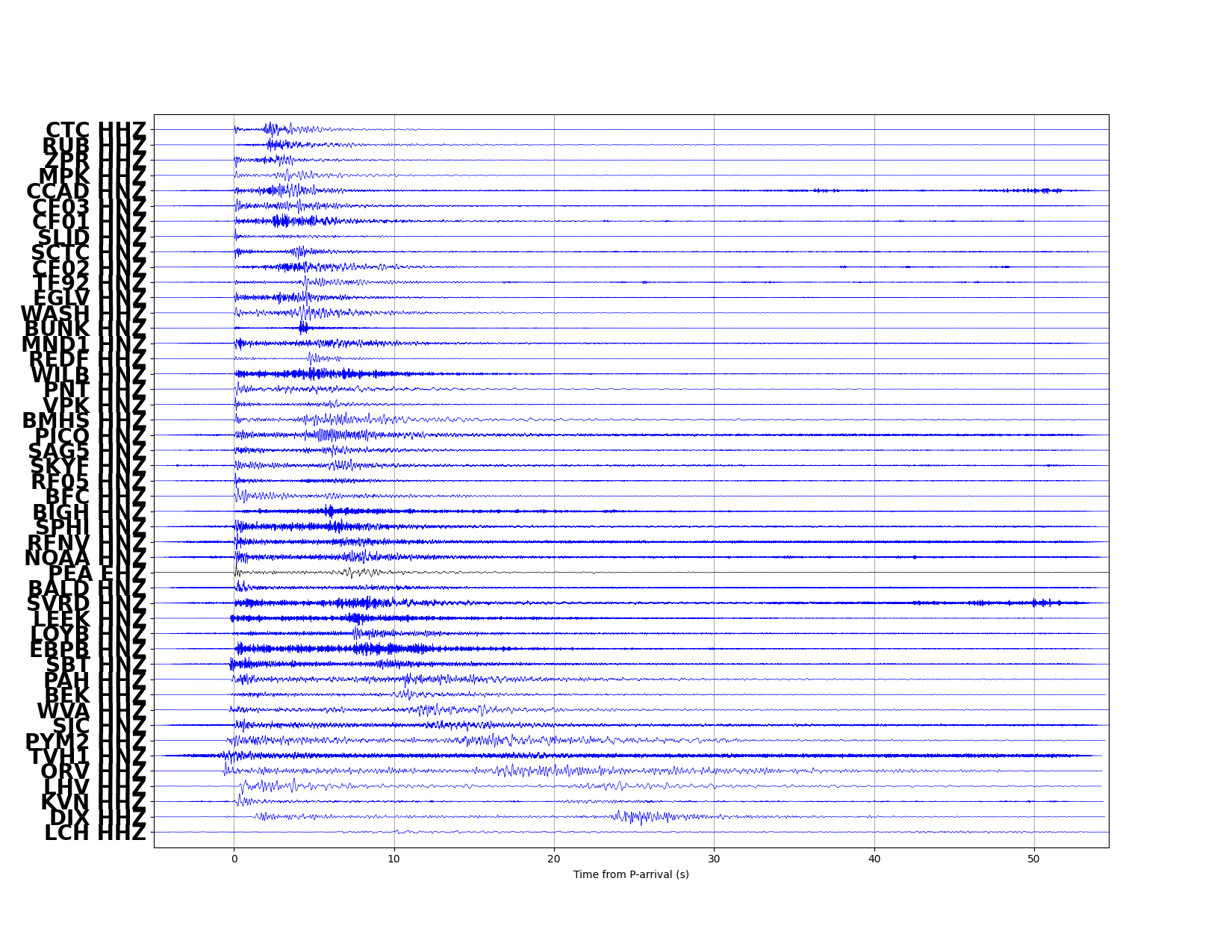
| Map includes seismicity in the last 60 days within 55 Km of this event. | ||
| ► Magnitude (ML) | 3.19 | |
| ► Region | 5.8 mi WNW of Glenbrook | |
| ► Date time | 2024-07-21 at 03:02:11.751 UTC 2024-07-20 at 20:02:11.751 PDT | |
| ► Location | 39.1333 ; -120.0313 | |
| ► Depth | 10.35 km | |
| ► RMS | 0.1396 | |
| ► Gap | 062 | |
| ► Stations | 39 | |
| ► Defining Phases | 62 | |
| ► Associated Phases | 73 | |
| ► Type | Local | |
| ► Status | Reviewed | |
| ► Page Updated | 2024-07-20 at 21:32:00.391 | |