Summary:
| Map includes seismicity in the last 60 days within 55 Km of this event. | ||
| ► Magnitude (ML) | 2.22 | |
| ► Region | 6.0 mi NW of Bridgeport | |
| ► Date time | 2026-03-28 at 13:18:23.959 UTC 2026-03-28 at 06:18:23.959 PDT | |
| ► Location | 38.3157 ; -119.3083 | |
| ► Depth | 9.22 km | |
| ► RMS | 0.3424 | |
| ► Gap | 128 | |
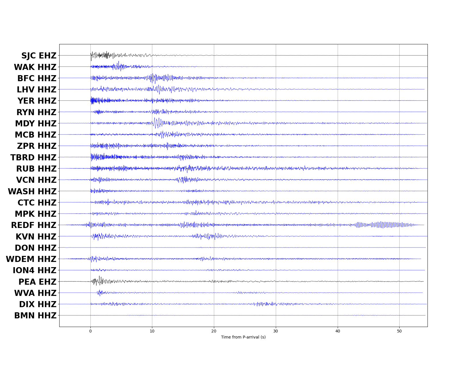
| ► Stations | 24 | |
| ► Defining Phases | 24 | |
| ► Associated Phases | 27 | |
| ► Type | Undetermined | |
| ► Status | Preliminary | |
| ► Page Updated | 2026-03-28 at 06:21:07.025 | |