Summary:
| Map includes seismicity in the last 60 days within 55 Km of this event. | ||
| ► Magnitude (ML) | 3.02 | |
| ► Region | 17.8 mi SW of Fallon | |
| ► Date time | 2026-04-14 at 01:52:39.653 UTC 2026-04-13 at 18:52:39.653 PDT | |
| ► Location | 39.3149 ; -119.0381 | |
| ► Depth | 13.36 km | |
| ► RMS | 0.1653 | |
| ► Gap | 148 | |
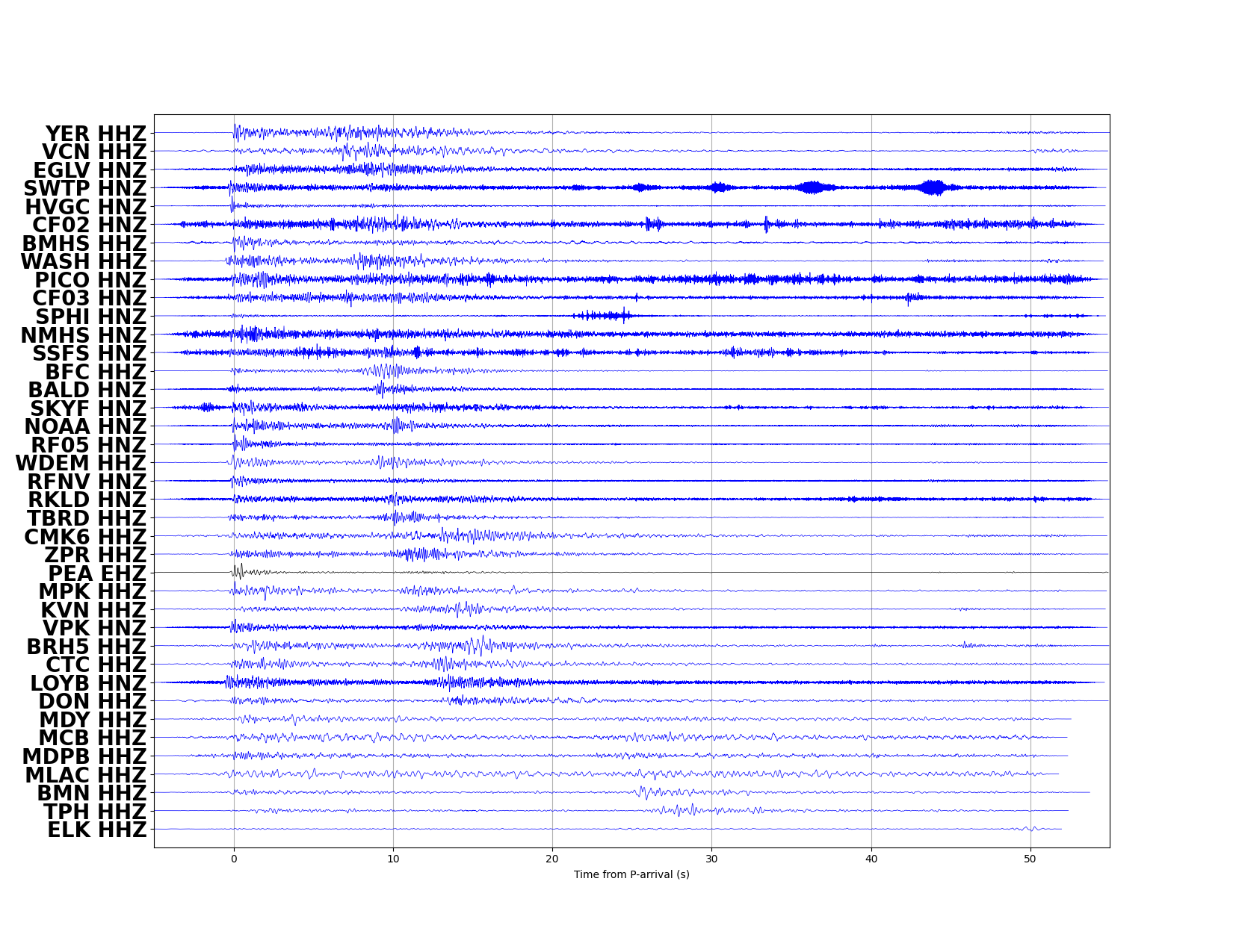
| ► Stations | 27 | |
| ► Defining Phases | 45 | |
| ► Associated Phases | 66 | |
| ► Type | Local | |
| ► Status | Reviewed | |
| ► Page Updated | 2026-04-13 at 21:09:22.755 | |